 |
| Has someone stolen the lock? |
Long Island is 80 miles long, and no more than 4 miles across. There's a road from one end to the other - well, actually, it goes both directions. We anchored at Salt Pond, which the guide book described as having all we were needing - gas, fresh food, and all I'd be needing to stock the boat ready for crossing the Atlantic again. We needed water too. The stuff we got from the spring on Crooked Island was pretty dirty. I'd siphoned it through a makeshift filter (cotton wool, funnel) and added some bleach but it didn't taste nice and our guts weren't happy about it. However, there wasn't much of anything in Salt Pond - nice new buildings, a bar and a club house with verandahs and all, but boarded up, and a supermarket that was closed down. There was just a garage really, where we paid $20 for enough water to fill the tanks. I was told there was a bank 8 miles or so down the road, and set off walking. I was confident someone would stop to give me a ride, so I didn't try to hitch for a lift. I wanted to walk for a while. Little things catch my eye.
 |
| Why say it in a few words when there's room for so many more? |
 |
| Elfin safety gone. |
 |
| 400 yards from the sea. |
I made it for a couple of miles before a pickup screeched to a halt and took me to the bank. I was a minute at the ATM, walked back to the road, and immediately got a ride back to the boat. I was lucky to have managed the couple of miles walking.
Sorry, you weren't expecting quirky silly pictures? Not what you expect of a Caribbean trip. OK, here you go then...
 |
| Another sunset, Salt Pond |
With the wifi, I emailed a weather server, and received a forecast I can display on my chart in the navigation program (OpenCpn). That showed a norther heading our way, and we were currently only sheltered from the east, so we decided to sail on the Georgetown, Exuma. Good shelter there, from every direction, if we can use the shallow draft of the boat to get in nice and close, somewhere too shallow for other boats to use. The charts on my laptop weren't as detailed as the charts on my phone, so I found a spot with the phone, and then used the app on the phone to plan a route though the coral reefs and sand banks and cays and rocks, and then transferred the waypoints to my laptop, and we set off on a nice reach. A steady 7 knots across flat water.
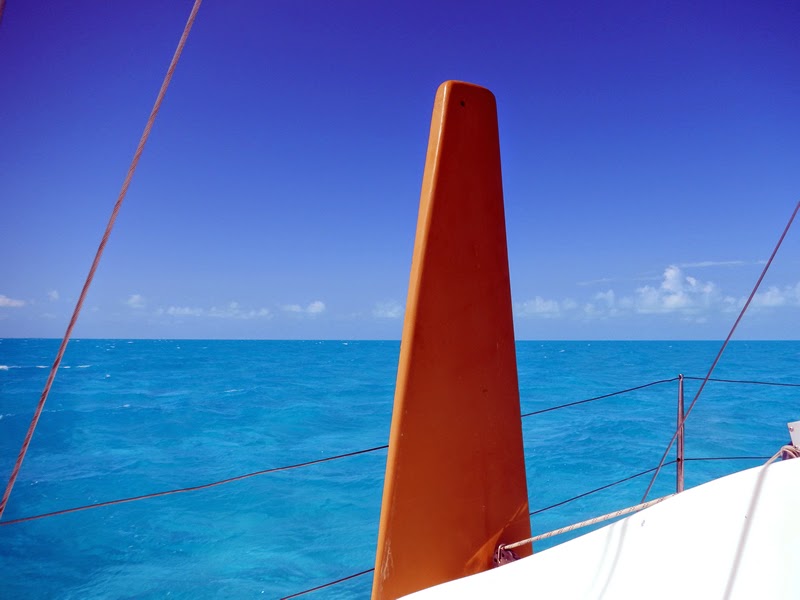 |
| I'm still not used to the colour of the water here. |
Did you hear what I did there? I logged onto the internet on the boat to check the weather and... To me, it's fabulous stuff. Look, here's a display from my laptop:

That's us, the red boat bottom right. The dashed line at the front of the boat is a vector showing where we'd be in half an hour's time on the current heading. The blue line with diamond shapes on is the route I have plotted. I saw a boat following the same route, and set the program to record his track, to see what I could learn from where he went. That's the purple/pink slightly wobbly line. He went very close to where I am aiming for, Kidd's Cove, so it's handy to follow him. What else - those green triangle things - they are other boats who are transmitting an AIS signal. I do the same, so the other boats can see me on their screens. From their triangles and any vectors in front of them, I can see at a glance who's going where. An alarm goes off if a crash is immanent. I can click on any of the boats and get lots of information about them, including their names, so that I can call them on the radio if I want.
All this technical stuff is available relatively cheaply. Any old laptop will do. I chose one that is doesn't use much power, to conserve electricity. It's worked fine for 3 years. The wifi antenna was £25 or so. The AIS box was a lot - nearly £450, but I bought a box that transmits as well as receives. Because I sail single-handed, it's best to be able to announce my position to other boats.
Here's where we arrived, from a screenshot on my phone (any phone with gps would do, and the navigation app, with all the charts of the Caribbean included, was £10):
 |
| Screenshot from my phone |
The red triangle is where we are anchored, close enough to walk ashore if you don't mind wet shorts, and sheltered from all directions.
I don't take this stuff for granted. I've been sailing a long time now. Navigation equipment was limited to a sextant and a radio direction finder, and paper charts. You need the sun, stars or the moon and a clear view of the horizon to use the sextant. Then a pile of books with tables in them, and a few minutes to do calculations. You might get a position from that (a fix) if you can shoot several stars, or just a position line if you shoot the sun or the moon. The radio direction finder depended on signals from lighthouses which were stronger or weaker according to the weather and the time of day, and the signals could be bent by fog(!). You'd ascertain the direction of a lighthouse from the radio signal, then remember to adjust the bearing by the deviation (the amount the compass is deviated by the boat) and adjust it for variation (to allow for the difference between magnetic north and true north) remembering that the variation itself varied according to where you were. And the weather forecasts? Well, in my early days, from what I'd read, I'd understood that a seaworthy boat should be able to cope, so I figured I should be able to cope, and so didn't bother with the weather too much. I was stupid, misinformed, naive, ridiculously optimistic and lucky. Make your own cocktail out of that.
 |
| A Triune trimaran, 30' long, 18' wide. |
Here's a picture. I'm not sure if it was my first boat (there were only 6 of these built), but if it's not, it was very similar. Look, they hadn't even invented colour in those days!
And here, though it hardly belongs with this blog is an excerpt from something I wrote from those olden times, describing a storm I encountered that taught me the limitations of that boat. Just a sextant and a broken radio direction finder and a foolish attitude to the weather.
Haha, excellent Tash! :):)
ReplyDelete